Original: $179.00
-65%$179.00
$62.65The Story
Full- Featured Vector Charts
Making navigation easy by giving you accurate, up-to-date vector chart detail derived from official Hydrographic Office information
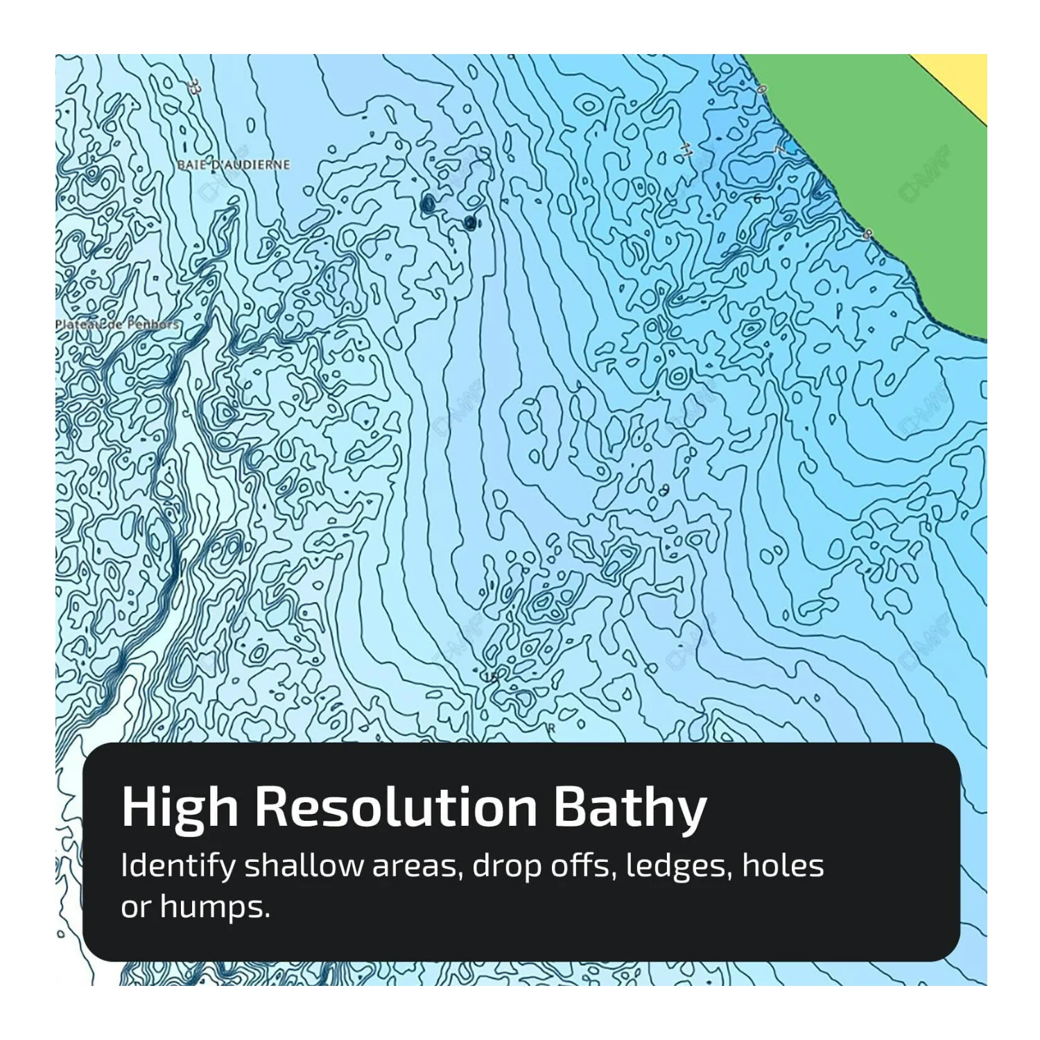
Hi-Res Bathymetry Layer
Helps you identify shallow areas, drop-offs, ledges, holes, or humps. Now includes the very best of C-MAP HRB data, with integrated Genesis social map data
Subscription-Free Autorouting
Automatically plot the shortest, safest route based on detailed chart data and your personalized vessel information
Shaded Relief
Bring the world around you to life, with 3D rendered land and underwater elevation, including areas of Ultra-High-Res Bathymetric imagery, a game-changer for anglers and divers
Custom Depth Shading
Set a clear safety depth, maintain a paper-like view or create your own custom shading
Compatibility
This REVEAL product is only compatible with the following models: HDS PRO, HDS LIVE, HDS CARBON, Elite-FS, Elite-Ti2, Elite-Ti, NSSevo3s, NSSevo3, NSSevo2, NSOevo3s, NSOevo3, NSOevo2, Go
Installation
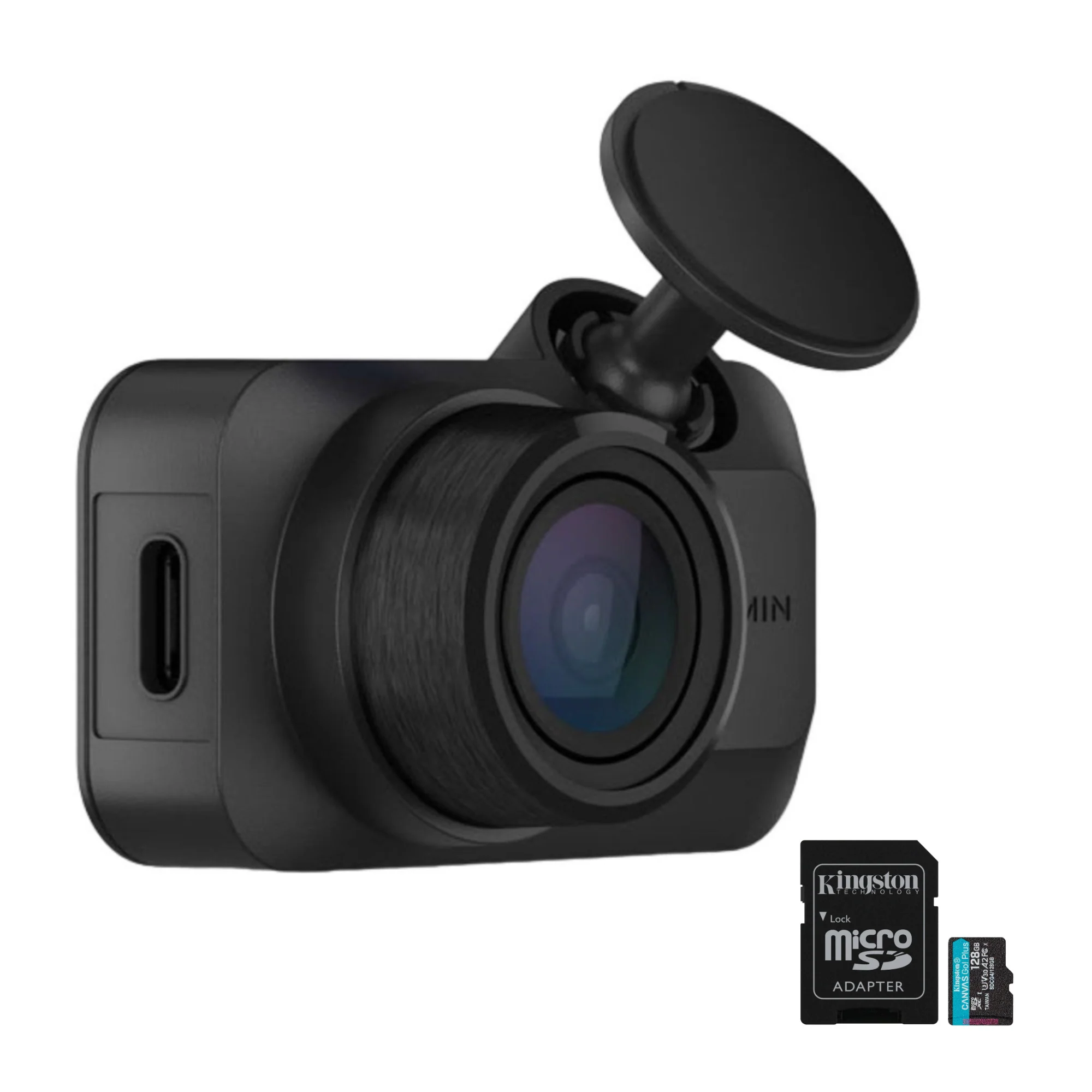
This product comes programmed on a Micro-SD fitted in an SD card; most chart plotters come with a Micro SD card reader. To use this chart, the Micro-SD card needs to be removed from the SD adapter

Details & Craftsmanship
Every detail has been carefully considered to bring you the perfect product.

Details & Craftsmanship
Every detail has been carefully considered to bring you the perfect product.

Details & Craftsmanship
Every detail has been carefully considered to bring you the perfect product.

Details & Craftsmanship
Every detail has been carefully considered to bring you the perfect product.
Details & Craftsmanship
Every detail has been carefully considered to bring you the perfect product.

Details & Craftsmanship
Every detail has been carefully considered to bring you the perfect product.

Details & Craftsmanship
Every detail has been carefully considered to bring you the perfect product.
Description
Full- Featured Vector Charts
Making navigation easy by giving you accurate, up-to-date vector chart detail derived from official Hydrographic Office information
Hi-Res Bathymetry Layer
Helps you identify shallow areas, drop-offs, ledges, holes, or humps. Now includes the very best of C-MAP HRB data, with integrated Genesis social map data
Subscription-Free Autorouting
Automatically plot the shortest, safest route based on detailed chart data and your personalized vessel information
Shaded Relief
Bring the world around you to life, with 3D rendered land and underwater elevation, including areas of Ultra-High-Res Bathymetric imagery, a game-changer for anglers and divers
Custom Depth Shading
Set a clear safety depth, maintain a paper-like view or create your own custom shading
Compatibility
This REVEAL product is only compatible with the following models: HDS PRO, HDS LIVE, HDS CARBON, Elite-FS, Elite-Ti2, Elite-Ti, NSSevo3s, NSSevo3, NSSevo2, NSOevo3s, NSOevo3, NSOevo2, Go
Installation
This product comes programmed on a Micro-SD fitted in an SD card; most chart plotters come with a Micro SD card reader. To use this chart, the Micro-SD card needs to be removed from the SD adapter